
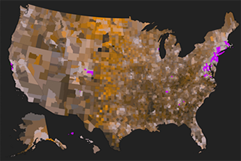
ArcGIS is a powerful tool for cataloging, mapping, and analyzing geographic information. With countless applications for both public and private organizations, ArcGIS software can create visual representations of complex data. Learn how to fully capitalize on the capabilities of ArcGIS with our convenient online evening classes!

Access to ArcGIS Pro software is included with each registration for the duration of the course and for one month after.
![]()
Our hands-on, online evening course schedules allow for maximum convenience and minimum time away from work.
![]()
Our courses are approved for a variety of credits needed to maintain professional licenses and certifications.
![]()
Please check back often for the latest course offerings, and join our email list to receive course announcements!
![]() question mark icon" width="300" height="300" />
question mark icon" width="300" height="300" />
Have questions or need more information? Contact Program Coordinator Suzanne Hills at suzanne.hills@rutgers.edu or 848-932-7234.
Gain a solid foundation in ArcGIS with a focus on layout and core functionality.
LEARN MORE >>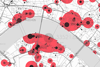
Advance your skills by exploring real world editing tasks and data management processes.
LEARN MORE >>
Learn about the Python programming language and its many uses for geoprocessing and data processing automation in ArcGIS.
LEARN MORE >>Rutgers Center for Remote Sensing and Spatial Analysis
CRSSA seeks to advance the development and application of geospatial information science and technology (remote sensing, geographic information systems, global positioning systems, computer simulation modeling) to address issues in the built and natural environment both locally and globally.
Rutgers Chapter of the University Consortium for Geographic Information Science
Rutgers is a member of the University Consortium for Geographic Information Science (UCGIS), a non-profit organization that creates and supports communities of practice for GIScience research, education, and policy endeavors in higher education and with allied institutions.
New Jersey Geographic Information Network
The New Jersey Geographic Information Network (NJGIN) was founded by the NJ Office of Information Technology, Office of GIS to facilitate the sharing of geospatial content in the NJ GIS community.
New Jersey Geographic Information Network (NJGIN) Open Data Site
This website provides access to many of the state’s spatial datasets, allowing users to search, query, and download filtered or complete records for each dataset.
NJDEP Bureau of GIS
The bureau provides GIS guidance and assistance to the various bureaus within NJDEP, as well as outside agencies.
New Jersey Geological Survey
View and download a geological survey map of NJ.
Urban and Regional Information Systems Association (URISA)
A nonprofit association of professionals using Geographic Information Systems (GIS) and other information technologies to solve challenges in state/provincial, regional and local government agencies.